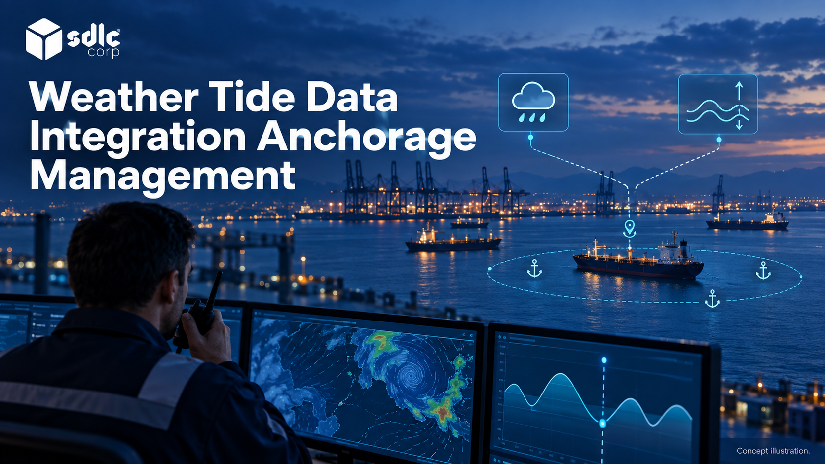
Weather and tide data integration helps anchorage planning only when each value shows what it represents, where it applies and how current it is. An observation, a forecast and an operating limit are different kinds of information.
In short, every value needs its type, time, location and reference, and a stale or mismatched value should block the dependent check rather than pass silently.
When an input becomes stale or incompatible, the operator needs to see the limitation and follow the defined fallback rather than rely on an unchanged display.
Which Port Decisions Need Wind, Visibility, Tide or Forecasts?
Write the mapping before choosing a provider. A dashboard full of environmental readings that nobody acts on is a maintenance cost with no operational return.
| Decision | Variable That Matters | Qualification |
|---|---|---|
| Is a zone usable now? | Observed wind, sea state, visibility | Observation, not forecast |
| Will it remain usable? | Forecast over the planning horizon | Uncertainty must stay visible |
| What evidence supports a depth-related review? | Approved depth, tide, vessel draught and required allowances | Use the port's under-keel clearance (UKC) procedure; tide alone is insufficient |
| Should a service window move? | Forecast plus service constraint | Service provider owns their own limits |
Include Currents and Sea State
Wind and tide height are not the whole picture at anchor. Current speed and direction affect how a vessel lies to its anchor and how much swing room it needs, while sea state affects holding and boarding operations.
The IHO S-104 and S-111 product specifications standardise water level and surface current data for navigation, and S-111 notes that currents affect vessel motion. Include current and wave data where the port's procedures use them.
Configured rules belong in Anchorage Allocation Software, where these variables become explicit constraints rather than informal operator knowledge.
An environmental change can affect both waiting areas and terminal readiness. Agree the anchorage-to-berth handoff while keeping each team's approved operating limits explicit.
Keep Weather Observations Separate from Forecast Values
Show What Has Happened and What Is Expected
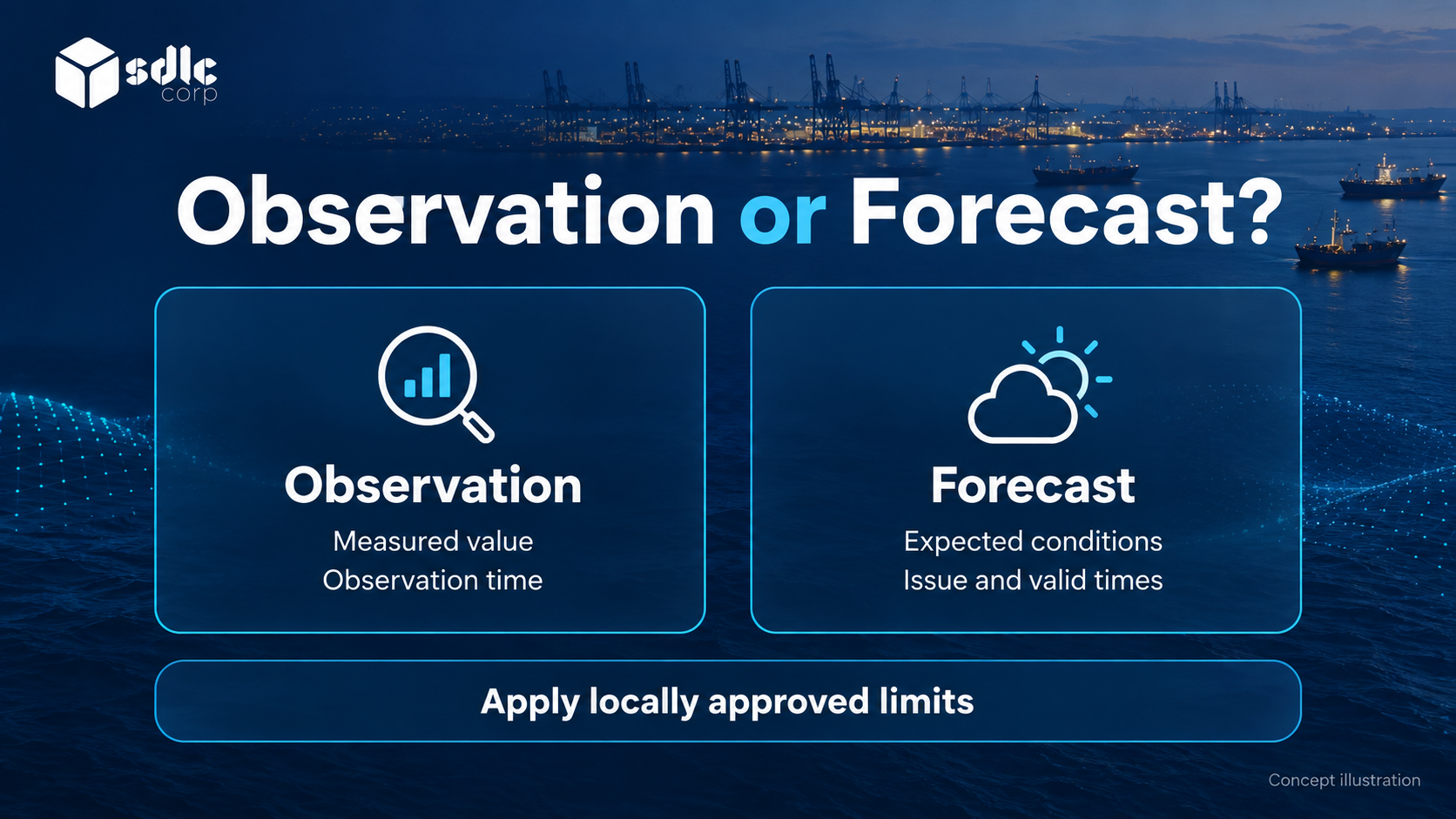
Keep observations and forecasts distinct. An observation is a measurement with a time and a location, while a forecast is a model output with a horizon and an uncertainty.
Presenting them in the same field with the same styling is how a forecast ends up treated as fact, so give each its own label and styling.
Show the source, the time and the horizon on every value. Where a forecast feeds a rule, keep its uncertainty attached so a marginal condition reads as marginal rather than as a clean threshold crossing.
Set a freshness window for each source and task, and treat each operating limit as the criterion the port has approved for that task.
Forecast issue time, validity time and observation time answer different questions. A delayed message cannot restart the age of its observation, and a newly received forecast must never be shown as a current measurement.
A Weather Value Becomes Stale While the Number Stays the Same
Illustrative example
This test uses wind observations and a configurable freshness window of ten minutes. The wind limit comes from the port's qualified operating team; no numerical limit or permission to move is implied here.
| Time | Source Data | Application State | Operator Decision |
|---|---|---|---|
| 10:00 | Observed wind 12 knots, below the port's approved limit | Current observation | Use as one input to the approved review |
| 10:02 | Forecast 18 knots for 11:00 | Forecast, not current observation | Plan for the stated future conditions |
| 10:11 | No new observation since 10:00 | Last value 12 knots; age 11 minutes; stale | Obtain approved alternative evidence or hold the affected decision |
| 10:15 | Delayed copy of the 10:00 observation | Still stale | Do not reset age to zero |
| 10:16 | New valid observation arrives | Reassess rule with its actual observation time | Resume only under the approved procedure |
Tide Mapping Must Retain Its Reference
| Incoming Value | Stored Meaning | Invalid Shortcut |
|---|---|---|
| Observed level 1.2 m, datum D-1, station S-1 | Measurement with time, datum and station | Treating 1.2 m as available clearance |
| Forecast level 1.4 m at 11:00, datum D-1 | Future estimate with uncertainty | Displaying it as an observation |
| Survey depth uses datum D-2 | Reference mismatch needing approved conversion | Adding the two values directly |
A tide value alone cannot establish under-keel clearance. The application also needs the approved survey reference, vessel and motion allowances, and the port's calculation procedure.
If the datum mapping is unresolved, the computed result should stay unavailable rather than show a number that only looks precise.
Choose Sources for Weather and Tide Data Integration
Provider selection should turn on spatial and temporal resolution relative to your anchorage, and on what happens when the feed is unavailable.
- Spatial resolution: is the nearest grid point or station representative of the zone?
- Temporal resolution and update frequency measured against your decision horizon.
- Datum and reference for tide and depth, matched to your survey data.
- Licensing terms, including redistribution to third parties.
- Availability history and a documented fallback.
Assess local instruments and forecast services against the decision, location, quality and lead time required. Neither is sufficient on its own, so define how approved observations, forecasts and uncertainty are combined.
Use the applicable hydrographic, meteorological or port-approved provider for the jurisdiction. Every tide value needs a vertical reference, as NOAA's explanation of tidal datums shows.
Have the port's qualified specialists confirm how the chosen tide source relates to local survey depths. The software should then store that reference with every value.
Standard formats help here. The UK Hydrographic Office's S-104 and S-111 trial data sets package water level predictions, forecasts and surface currents in a consistent, machine-readable form.
Define Thresholds with Operators, Not for Them
Thresholds encode operational judgement. Set them with the people who currently make the call, record the rationale, and make them configurable without a code change.
Keep port-approved operating limits separate from preferences. A safety limit should be represented differently from a preference such as minimising reallocation, and no preference may override a mandatory restriction.
Getting Anchorage Geofences And Zone Events Right covers how zone geometry and restrictions combine with these thresholds.
Design Alerts and Degraded Behavior
An environmental alert needs the same discipline as any other: an owner, evidence, a next step and a closure path. It also needs an honest answer to what happens when the data stops.
- Alarm on feed staleness, not only on threshold breach.
- Cache the last known value with its age clearly shown.
- Allow attributed operator entry only where approved; otherwise hold the affected decision.
- Never evaluate a rule silently against stale data.
- Suppress repeats without hiding the underlying condition.
The consequences usually reach port call coordination too, because environmental exceptions move service windows and berth readiness as well as anchorage allocations.
Apply the same ownership and recovery principles described in AIS Failure and Radar Fallback for Vessel Tracking, while keeping the environmental source's own validity rules.
Keep Environmental Alerts Separate from Movement Approval
It is tempting to let the system move allocations automatically when a threshold is crossed. Resist it. Environmental data is uncertain, locally variable and occasionally wrong.
The consequences of an automated move also fall on people who were not consulted. Let the system propose and evidence the proposal, then require a person to approve it.
Record who approved and on what data, so the decision can be reviewed against the information available at the time.
For each environmental input, document the decision it supports, the approved threshold owner and the fallback when evidence is missing or stale. Record data licensing and availability commitments before accepting the feed.
Conclusion
Good weather and tide data integration is tested, not assumed. Try a current observation, a forecast, a stale source and a mismatched tide reference, and confirm the screen explains each difference.
Before acceptance, assign owners for source quality, configured criteria and fallback actions. An environmental alert should inform the authorized decision process, never become an unexplained movement approval.
Discuss Environmental Data Integration with SDLC Corp
Bring your approved environmental providers, reference datums and local workflow rules to an SDLC Corp discussion about our Anchorage Management Software and Software Integration Services.
We will show how observation time, forecast validity, stale data and incompatible references stay visible. The proposal separates software behavior from the port's operational thresholds and sets out source rights, dependencies and acceptance evidence first.
Frequently Asked Questions
Can Observed and Forecast Values Be Used Interchangeably?
No. Preserve their type, applicable time and source. A forecast describes an expected condition; it should not appear as an observation simply because it supplies a value for the same location or parameter.
Why Does a Tide Value Need a Datum?
A tide height is measured from a vertical reference, and survey depths may use a different one. Adding values from different datums without an approved conversion produces a clearance figure that looks precise but is wrong.
Should Tidal Currents Be Included?
Yes, where the port's procedures use them. Current speed and direction affect how a vessel lies at anchor and how much swing room it needs, so they deserve the same time and source labels as wind.
How Fresh Must Tide Data Be?
Set freshness from the decision and the port's approved procedure. For depth-related checks, confirm compatible references and the required supporting inputs rather than choosing a universal update interval.
Can Weather Data Trigger an Automatic Reallocation?
It should not. The system can propose a change and show the evidence, but a person with the right authority approves any movement, and the approval records the data used.
Is a Commercial Provider Required?
Not necessarily. Assess each available source for local coverage, quality, update behavior, permitted use and support. Public and commercial sources both need a defined fallback when information is unavailable or unsuitable.