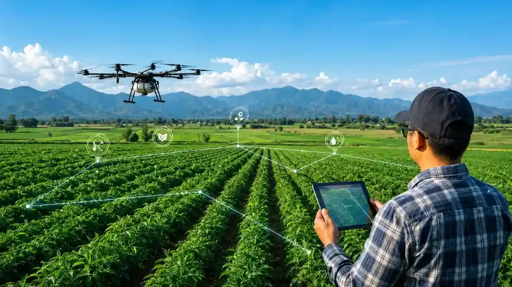
AgriTech Case Study

AR Agriculture Mapping Platform for Drone-Based Farm Operations

SDLC Corp built a custom AR agriculture mapping platform for MamaApp to turn drone field data into clear maps, crop-health views, spray-zone plans, and service updates for farmers, operators, and admin teams.

  • GPS Farm Maps
  • AR Crop Views
  • Spray-Zone Planning
  • Service Tracking
AR VR agriculture mapping platform for drone-based farm operations
Client Overview

About MamaApp

MamaApp connects rural farming communities with drone services. Farmers book spraying, field mapping, crop monitoring, and equipment support through one mobile app. The platform supports multiple languages and works for users with limited smartphone experience.

As the service network grew, one structural problem became clear. Farmers received data they could not read. Operators planned missions by memory. Admin tracked jobs across phone calls and spreadsheets. Three groups worked on the same job with no shared system. MamaApp needed one platform that all three user groups could use daily.
Client
Industry
AgriTech and Drone Services
Region
Rural Agriculture
Users
Farmers and Operators
Platform
Mobile and Web
Scope
End-to-End Build
MamaApp drone agriculture service connecting rural farmers with precision field mapping
Project Snapshot

MamaApp Agriculture Platform at a Glance

Key facts from MamaApp's AR agriculture mapping platform build. A two week discovery phase was followed by three user tested delivery phases.

Build Timeline
4 to 8 Months
Discovery through production across three user-tested delivery phases.
User Roles
3 Roles
Dedicated interfaces for farmers, drone operators, and administration teams.
Architecture
4 Layers
Drone capture, GIS processing, AR visualization, and service management.
Key Capability
Offline First
Farm maps and service records remain available without a live internet connection.
Our Solution

Three Platform Layers for Farmers, Drone Operators, and Admin Teams

SDLC Corp began with a two-week discovery phase, interviewed farmers and drone operators, and delivered the platform in three tested phases with MamaApp user feedback.

Plan Your Platform Architecture
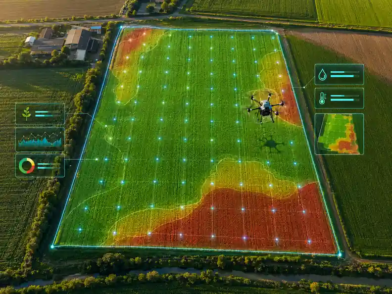
Drone data capture for GPS farm mapping
1

Drone Data Capture

After each mission, operators upload GPS-tagged imagery from their mobile device. The platform turns it into a georeferenced farm map with boundary lines, crop zone outlines, and health data. Satellite imagery fills gaps on first visits.

  • GPS-tagged imagery uploaded from mobile after each flight
  • Crop zone outlines and health layers generated automatically
  • Reusable boundary data stored for future service visits
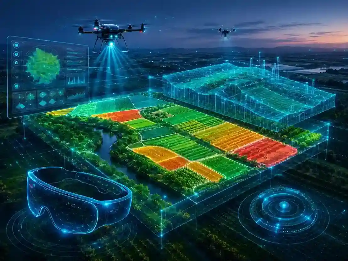
AR field view showing crop health zones
2

AR VR Visualization

Processed field data reaches farmers in two visual formats. The AR module uses ARCore on Android and ARKit on iOS to overlay crop health zones onto the live camera view. The Unity 3D VR mode generates a navigable farm model for operator planning without a site visit.

  • Live AR field overlay on any Android or iOS device
  • Unity 3D farm model for remote pre-mission review
  • Designed to reduce technical training needs for farmers and field teams
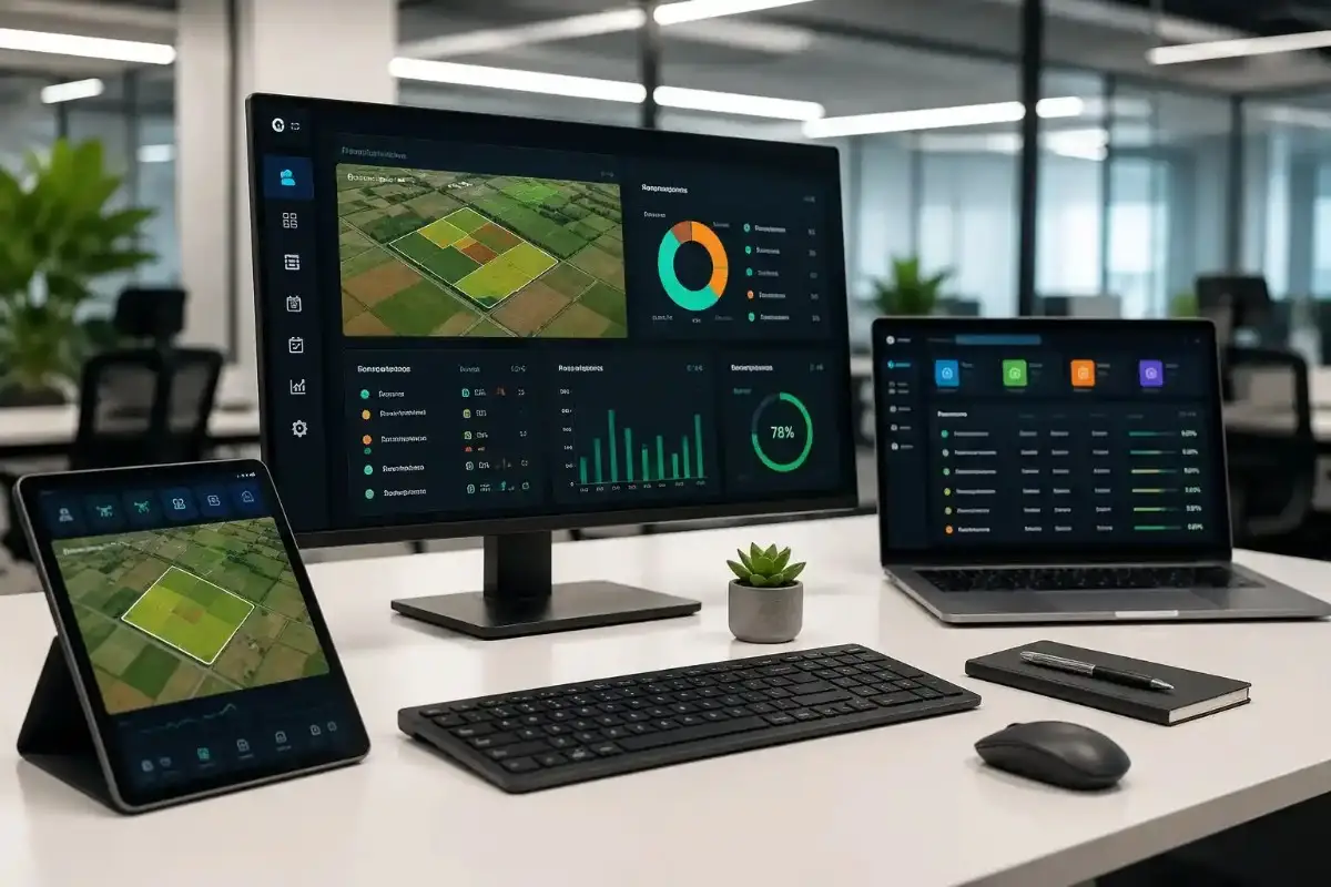
Farm service dashboard for drone operators and admin teams
3

Service Management

A role-based dashboard gives each user group the exact controls their job requires. Farmers submit and track requests. Operators review assigned farms, spray plans, and mission history before leaving the office. Admin manages all assignments and completions from one screen.

  • Separate interfaces for farmers, operators, and admin
  • Spray zone planning with auto-calculated area and volume
  • Full service history per farm visible to authorised users
The Challenge

Farm Operation Problems MamaApp Needed to Solve

When MamaApp came to SDLC Corp, drone jobs ran on phone calls, hand-drawn sketches, and manually built reports. All six problems below were confirmed during a two-week discovery sprint with the MamaApp operations team.
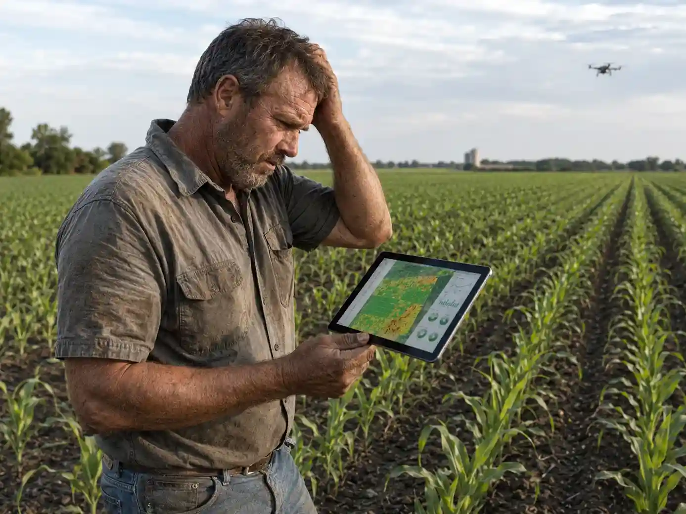
Farmer unable to read NDVI drone data report on a mobile device

Farmers Could Not Act on Reports

Post-flight reports showed NDVI values and GPS coordinates. Farmers had no way to use that data and depended on operators to explain it after each mission, creating delays and repeat visits.
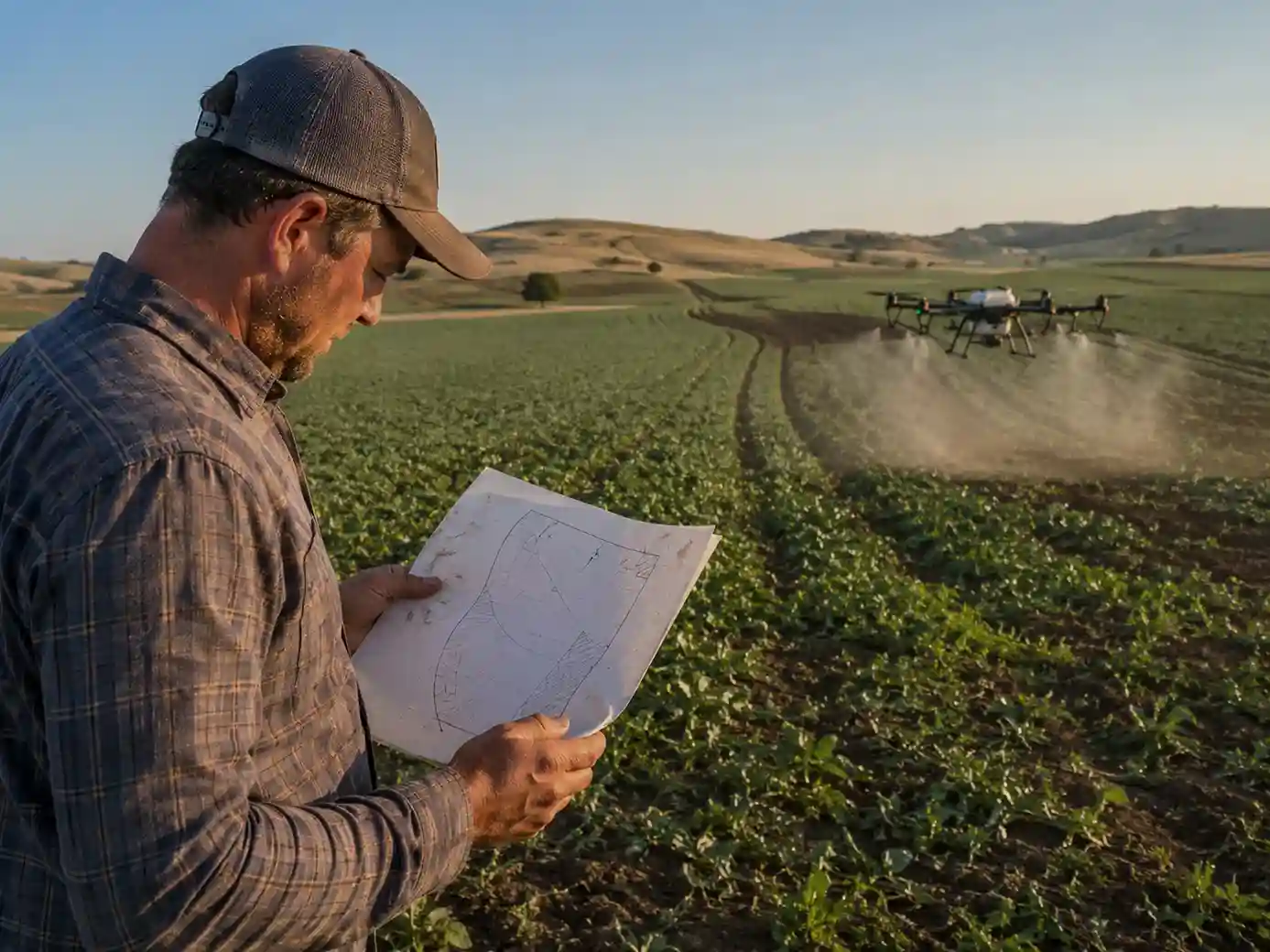
Operator using a hand-drawn sketch to plan farm spray zones

Spray Plans Built on Guesswork

Operators estimated areas from memory and hand-drawn layouts. Incomplete coverage was only found on re-visits, consuming extra flight hours and chemical inputs that could have been avoided.
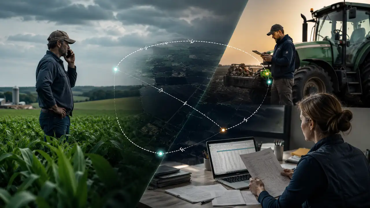
Three teams working without a shared farm service management system

Three Teams Without a Shared View

Farmers called for job updates. Operators messaged admin through apps, while admin logged data in spreadsheets. No tool gave all three groups the same farm map or service record.
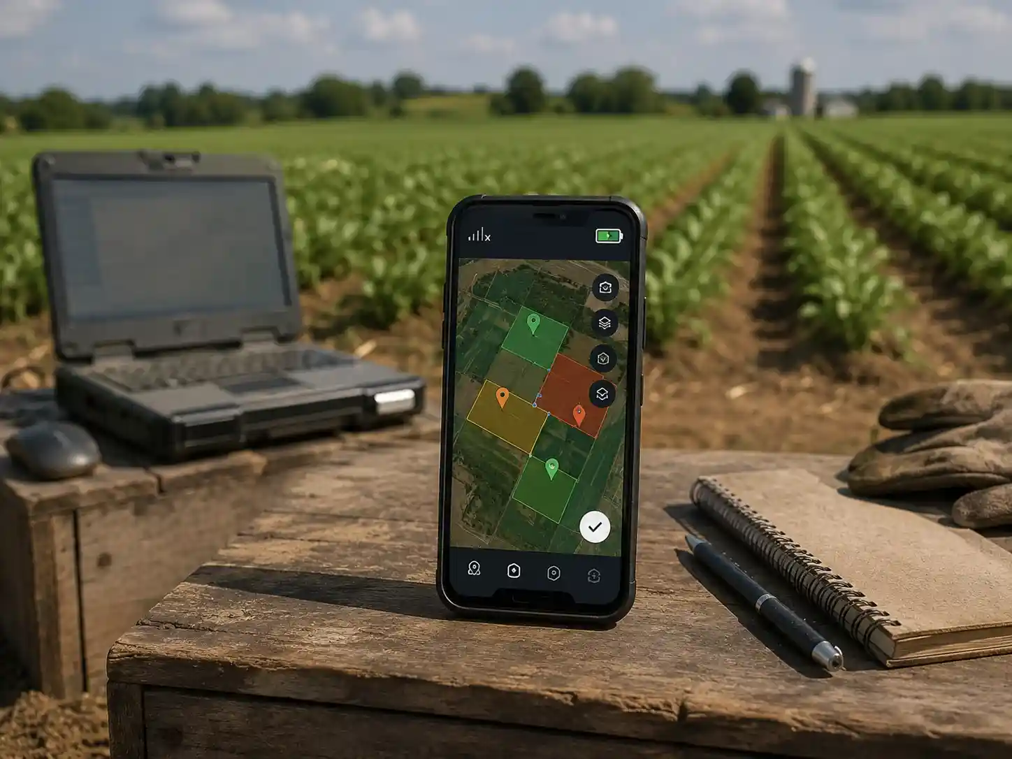
Desktop agriculture software that is difficult to use in rural fields

Tools Not Built for Fields

Available mapping tools required a desktop, a stable connection, and technical training. MamaApp farmers needed a mobile-first tool that worked on basic Android devices with limited connectivity.
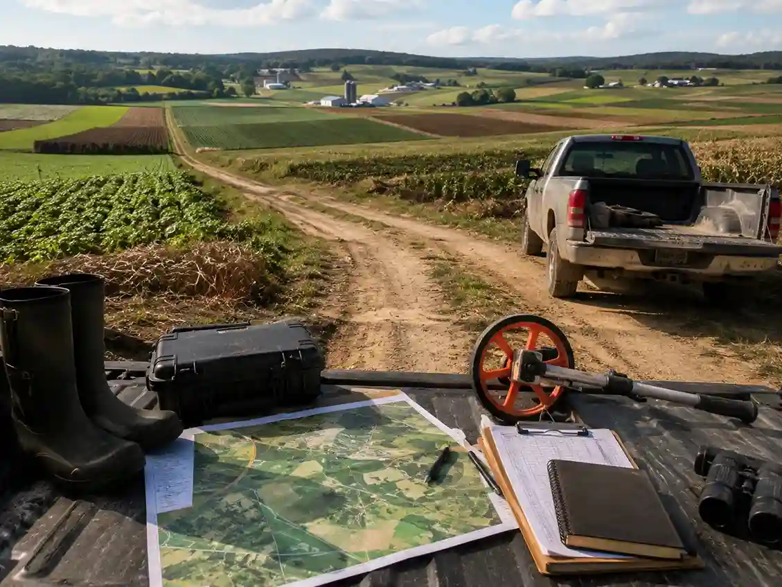
Operator visiting a farm for a physical pre-mission inspection

Physical Inspections Did Not Scale

Before each mission, operators visited farms in person. As MamaApp's network grew, this process consumed scheduling capacity and limited how quickly the team could onboard new farms.
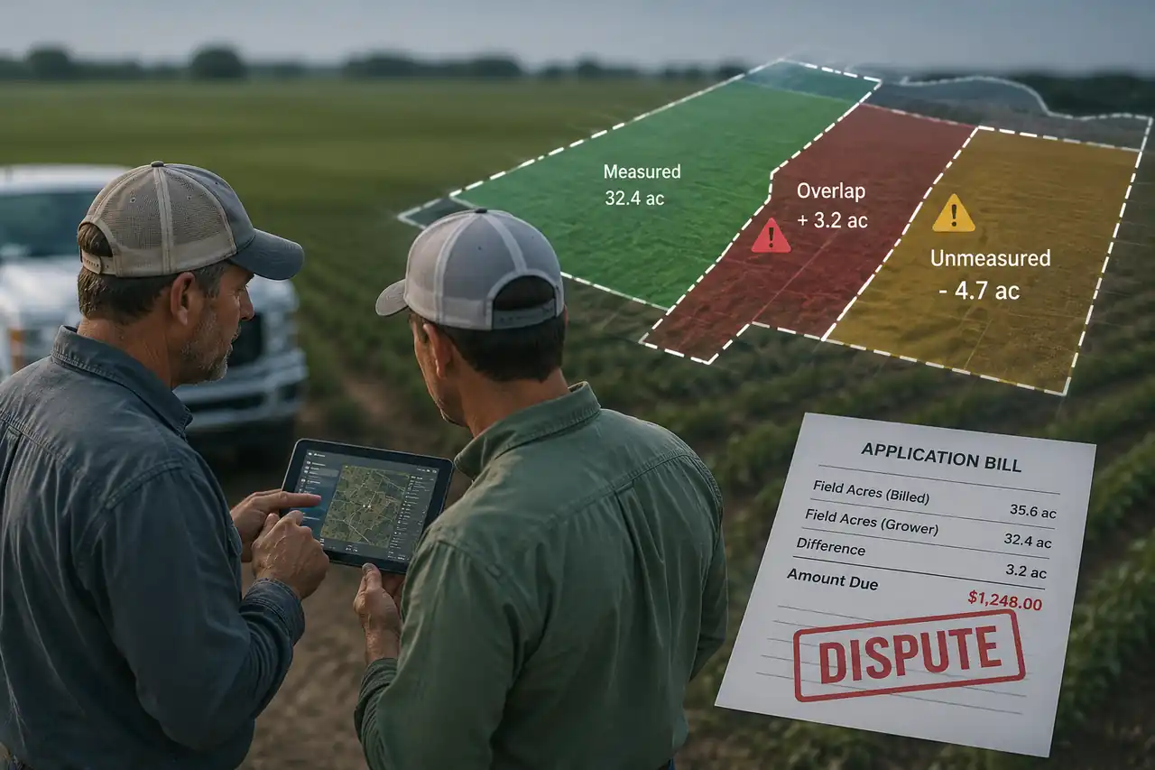
Farm billing dispute caused by inconsistent area measurements

Area Errors Led to Billing Disputes

Field boundaries were re-estimated during every visit. Measurements varied between jobs on the same farm, causing inconsistent chemical volumes and pricing disputes that reduced farmer trust.

Behind the Build

Real Farm Problems Solved Through Drone Mapping and AR/VR

SDLC Corp turned drone data into GPS farm maps, AR field views, 3D mission planning, and accurate spray-zone calculations.

Real Farm Problems We Solved

The on-the-ground problems each capability was built to fix
Real Farm Problem
Why It Matters
Realistic Solution
Field boundaries could not be marked clearly
Wrong area, wrong spray cost, disputes
GPS boundary mapping from drone imagery
Operators relied on verbal directions
Wasted travel and wrong field visits
Digital farm map with stored boundary and history
Crop stress was invisible from the ground
Stress and weak zones were noticed late
Drone imagery plus a crop-health layer
Spray zones were planned manually
Over and under-spraying, chemical waste
Pre-mission spray planner with area calculation
NDVI-style reports were hard to read
Too technical for farmers to act on
AR overlay of affected zones on live view
Repeat visits had no comparison data
No way to see if the crop improved
Multi-date layers and previous-mission overlay
Admin had poor operational visibility
Hard to assign operators and track jobs
Admin panel for requests and assignment
Rural internet was unreliable
The app could fail mid-visit
Offline-first app with cached farm data

Aerial Mapping Challenges

Why turning drone flights into reliable farm maps is hard

Boundary Accuracy

Borders are often irregular, shared, or never recorded, so drone imagery and GPS built reusable digital boundaries.

Image Stitching

Maps need image overlap, consistent altitude, and clean GPS tags. Without them, stitched maps distort.

Lighting and Weather

Sun, shadow, cloud, wind, and dust degrade quality, so capture conditions were planned per flight.

Repeatable Capture

The same field has to be captured comparably across dates so crop-health comparison stays reliable.

Low Connectivity

Signal is weak in the field, so the mobile app caches farm data offline.

Farmer Usability

Farmers may not read technical maps, so AR overlays the data on the live field view.

The Realistic AI Layer

Supported by our AI Development Company for operator-assisted decisions
AI-Assisted

Crop Stress Detection

Flags weak, dry, or stressed crop zones from aerial imagery for operator review.

Computer Vision

Boundary Extraction

Detects field edges and crop-zone outlines to speed up a farm's first digital map.

Quality Gate

Image Quality Check

Catches blurry, incomplete, or misaligned images before map generation.

Rule + AI Assisted

Spray Recommendation

Suggests spray zones from affected area and past missions for the operator to confirm.

AI-Assisted

Change Detection

Compares current and previous maps to highlight visible crop changes between visits.

Farmer-Friendly

Plain-Language Summaries

Turns technical map layers into insights a farmer can understand and act on.

What We Built

Key Platform Deliverables Built for MamaApp

Each deliverable was confirmed during discovery and tested with users before the next development phase began.

01
Platform Architecture and Role Mapping
System design for three user roles, four data layers, offline storage, and APIs connecting the mobile apps with the web dashboard.
02
Drone Imagery Ingestion Pipeline
Mobile upload flow with GPS tagging, spray boundary extraction, and routing to the GIS layer without desktop tools.
03
GIS Farm Map Generation
Drone imagery converted into georeferenced farm maps with GPS boundaries, crop-zone outlines, and multi-date health layers.
04
Mobile AR Crop Overlay
ARCore and ARKit display crop-health zones, spray coverage, and problem-area flags through the live camera view.
05
Unity 3D VR Farm Model
A navigable 3D farm environment built from drone imagery and optimized for web viewers and mid-range Android devices.
06
Pre-Mission Spray Zone Planner
GPS map tool for drawing spray zones, calculating area, estimating chemical volume, and reviewing previous missions.
07
Farmer Mobile Application
React Native app with multilingual navigation and SQLite caching so essential farm data remains available offline.
08
Operator Mission Dashboard
Web interface showing assigned farms, service requests, GPS maps, and spray zones in one pre-departure view.
09
Admin Operations Panel
Role-based panel for managing requests, assigning operators, tracking completion, and exporting farm history.
10
QA Testing and Production Deployment
Android and iOS testing covering offline caching, AR performance, low-spec devices, and production deployment.
Platform Capabilities

What Each User Can Do With the Platform

Farmers, operators, and admins use role-based interfaces built around their daily tasks and access needs.

Live AR Field View

Farmers point their phones at crop zones to see health data, spray coverage, and problem areas on the live camera view.

3D Pre-Mission Review

Operators review a Unity 3D farm model, confirm boundaries, and check previous coverage before leaving for the field.

Complete Farm Timeline

Farmers can review service dates, operators, coverage areas, spray volumes, and drone images without contacting admin.

GPS Spray Zone Planning

Operators draw spray zones on GPS maps while the platform calculates area, chemical volume, and previous coverage gaps.

Crop Health Comparison

Operators compare health layers across service dates to identify declining zones and plan the next mission.

Admin Request Management

Admin manages requests, assigns operators, and tracks job completion through integrated Field Service Management Software capabilities.

Technology Stack

Technology Behind the MamaApp Platform

The stack supports offline access, drone mapping, AR/VR experiences, secure role access, and reliable performance on everyday devices.

Mobile
React Native SQLite Android and iOS
AR and VR
ARCore ARKit Unity 3D WebXR
Mapping
GIS Processing Satellite Imagery Drone Overlays
Backend
Node.js Python AWS S3 and Lambda PostgreSQL JWT and RBAC

Why These Technologies Were Selected

React Native supports Android and iOS through one maintainable codebase for farmers and operators.
SQLite keeps farm maps and pending service records available when mobile connectivity drops.
Unity 3D delivers smooth farm-model rendering on mid-range Android devices without specialist hardware.
AWS S3 and Lambda process large drone files without requiring fixed-capacity server infrastructure.
Platform Outcomes

Operational Improvements After Platform Launch

MamaApp connected farmer requests, mission planning, field service, and job tracking through one shared digital workflow.

Build Your Farm Operations Platform
Before the Platform
Spray areas were estimated from memory, while coverage gaps were found only during repeat visits.
Farmers received data they could not use without an operator explaining each report.
Operators visited farms before missions to confirm field conditions and boundaries.
Field boundaries were re-estimated, causing inconsistent pricing on the same farm.
Admin tracked job status through calls, messages, and spreadsheet updates.
After the Platform
Operators draw spray zones on GPS maps, calculate areas, and detect coverage gaps before takeoff.
Farmers view field data, AR overlays, and service history directly from their phones.
Operators review 3D farm models remotely and reduce repeated physical pre-visits.
Saved GPS boundaries provide consistent measurements for every service visit.
Admin monitors open and completed jobs through one real-time dashboard.
3 Connected platform layers
iOS · Android · Web Cross-platform delivery
2-week Discovery phase
Offline-first Field-ready mobile access

Measurable Outcomes

MamaApp gained better control over farm onboarding, drone mission planning, repeat visits, and job tracking.

  • Farmers were onboarded across rural service locations through one structured digital workflow.
  • Operators reduced manual planning with saved GPS maps, field records, and service history.
  • Repeat visits became faster because farm boundaries and spray zones could be reused.
  • Admin moved job tracking from calls and spreadsheets to one live operations dashboard.

“The platform helped our field teams turn drone data into clearer farm-level actions. Farmers understood service updates faster, while operators and admin worked from the same digital record.”

Operations Team, MamaApp

Client Review

What the client said about SDLC Corp

A verified client review for the AR agriculture mapping platform, covering AR/VR development, digital twin workflows, custom software development, and enterprise app modernization.

5.0
Quality, schedule, cost, and willingness to refer
Verified online review
“Their team was responsive to our feedback and handled requested changes in a practical and cooperative way.”
MD

Executive, Mama Drones

Agricultural Drone Company · Aurangabad, India

Role-Based Capabilities

Platform Capabilities by User Type

Farmers, drone operators, and admin teams receive separate tools based on their responsibilities, workflows, and platform access.

Platform Capability Farmers Drone Operators Admin Teams
Live AR crop-health field view
Plain-language field summaries
Farm service history and timeline
GPS farm boundary mapping
3D pre-mission farm review
GPS spray-zone planning with automatic area calculation
Crop-health comparison across visits
Offline mobile access
Submit a service request
Assign operators and schedule jobs
Update and track job status
Unified operations dashboard
Build With SDLC Corp

Build Your AgriTech Platform With SDLC Corp

SDLC Corp provides custom software development services for drone operators, farm businesses, and precision agriculture teams. Our mobile app development services connect drone data, AR/VR views, GIS maps, offline workflows, and cloud backends.

AR/VR Development Drone Data Integration GIS and Farm Mapping Offline-Ready Architecture

Let’s Talk About Your Product

Get expert guidance on scope, architecture, timelines, and delivery approach so you can move forward with confidence.

What happens next?

FAQ

Frequently Asked Questions

What is the MamaApp AR/VR agriculture mapping platform?
It is a drone-based field-service platform SDLC Corp built for MamaApp. It turns drone imagery into GPS-referenced farm maps and shows crop-health zones through AR and 3D VR views, giving farmers, drone operators, and admin teams one shared system to plan, monitor, and manage field services.
How does drone data become a usable farm map?
After each mission, operators upload GPS-tagged imagery from their phone. The platform stitches it into a georeferenced map with boundary lines, crop-zone outlines, and health layers, then stores those boundaries so they can be reused on future service visits.
Can farmers use the platform without technical training?
It is designed to reduce technical-training needs. Farmers see crop-health zones as AR overlays on the live camera view and read plain-language field summaries instead of raw reports, and the mobile app caches farm data for offline use in low-signal areas.
What can drone operators do before a field visit?
Operators open the mapped service area, review the 3D farm model and previous service history, and plan spray zones with auto-calculated area. This reduces the need for repeated physical pre-visits on farms that are already mapped.
What technology powers the AR/VR field views?
The AR module uses ARCore on Android and ARKit on iOS to overlay crop-health data on the live field, while a Unity 3D mode generates a navigable farm model for remote pre-mission planning. Mapping is built on GPS positioning and GIS layers.
Who designed and built the platform?
SDLC Corp, a custom software, AR/VR, and AI development company, designed and delivered the platform end to end — from the drone data pipeline and GIS mapping to the AR/VR visualization, offline mobile app, and admin dashboard.