
Digitizing MamaDrone's Agri-Drone Operations with Odoo ERP
SDLC Corp helped MamaDrone turn scattered drone fieldwork into a connected Odoo ERP platform. Digital-twin mapping improved farm tracking, drone hardware sync reduced coordination gaps, and AR/VR training helped operators complete field tasks faster with stronger operational control.
Client Background for Odoo ERP Agri-Drone Operations
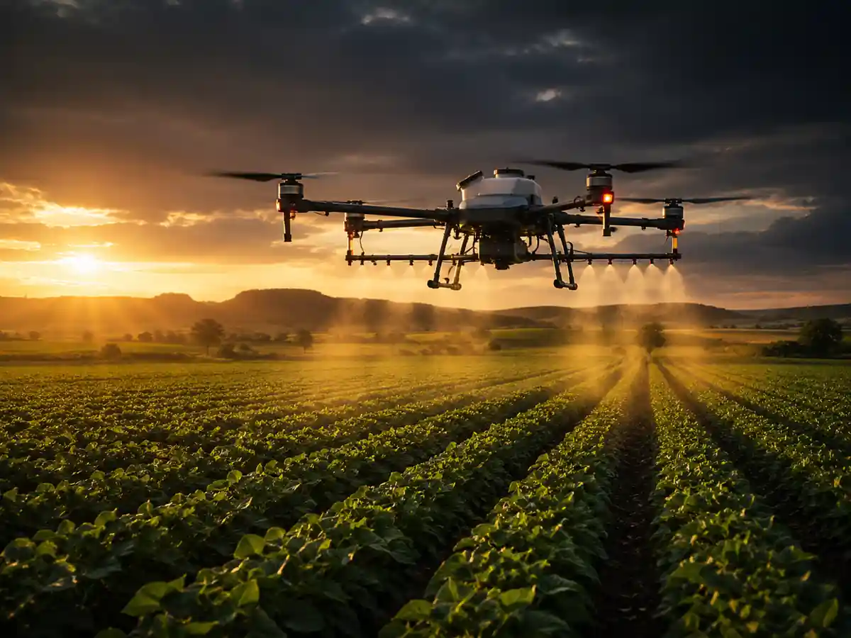
MamaDrone connects rural farming communities with drone-based spraying, field mapping, crop monitoring, and equipment support. Farmers needed one simple platform to request services, track field activity, and stay connected with operators during every farm operation.
As demand grew, field teams, drone operators, and admins relied on disconnected records, manual tracking, and delayed updates. MamaDrone needed Odoo ERP to centralize operations, improve visibility, reduce coordination gaps, and support scalable agri-drone service delivery.
Odoo ERP Farm Operation Problems MamaDrone Needed to Solve
MamaDrone’s drone service workflows depended on phone calls, hand-drawn field sketches, spreadsheets, and manually prepared reports. These gaps created operational delays, limited visibility, and made it harder to scale farm services with consistent field data.
Hard Action Reports
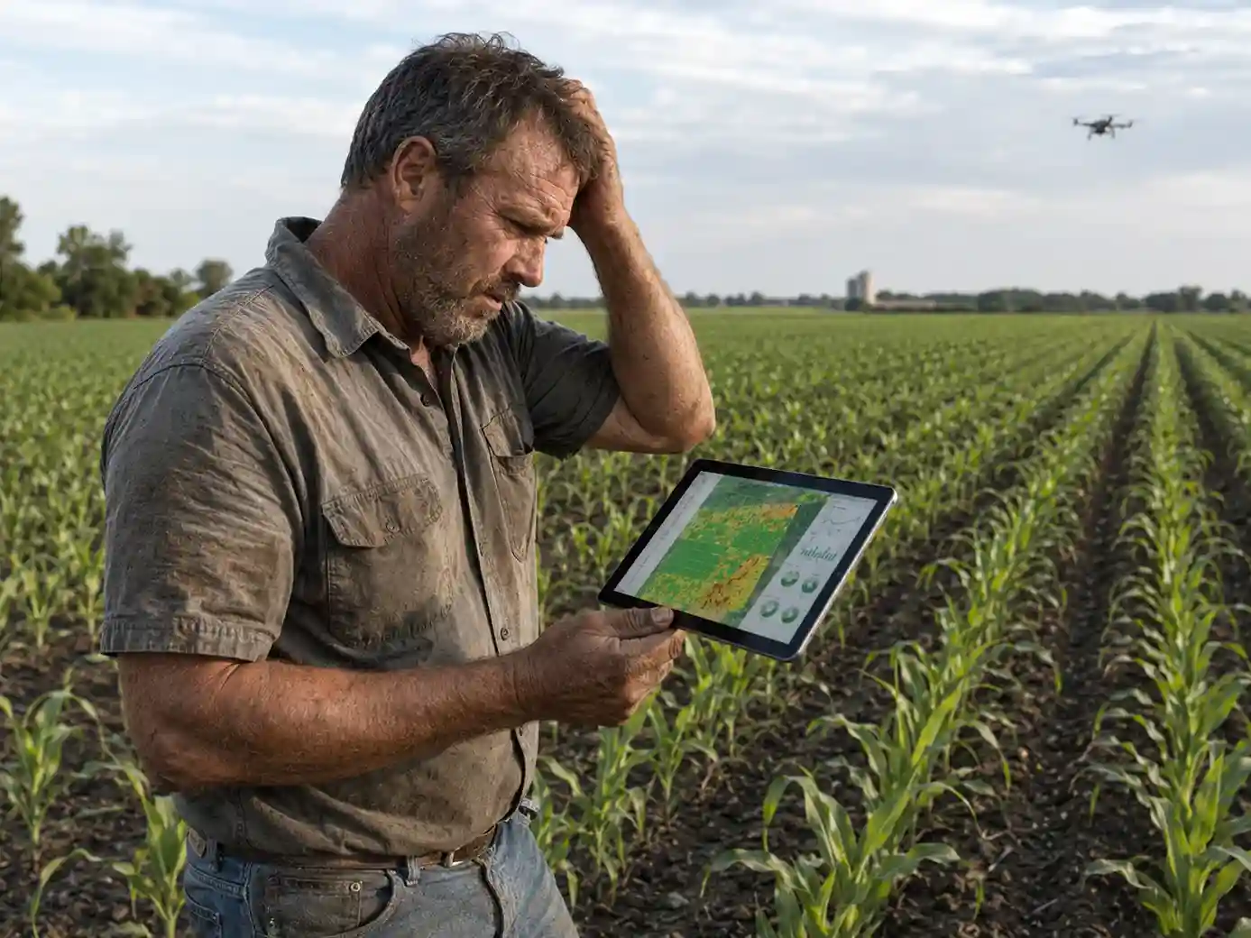
Farmers received technical NDVI values and GPS points without clear action steps. This increased operator dependency and delayed crop decisions after each mission.
Guesswork Spray Plans
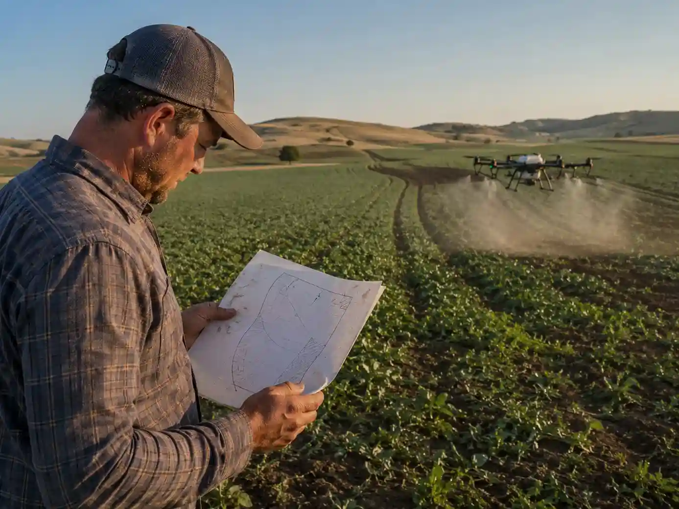
Operators estimated farm areas from memory, rough sketches, and manual inputs. Limited field accuracy led to missed coverage, extra flight time, and higher input use.
No Shared Team View
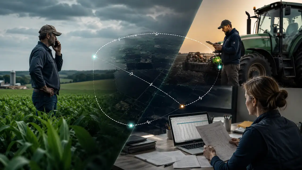
Farmers, operators, and admins used calls, messages, and spreadsheets. Without one shared view, job status, service records, and farm data were difficult to track.
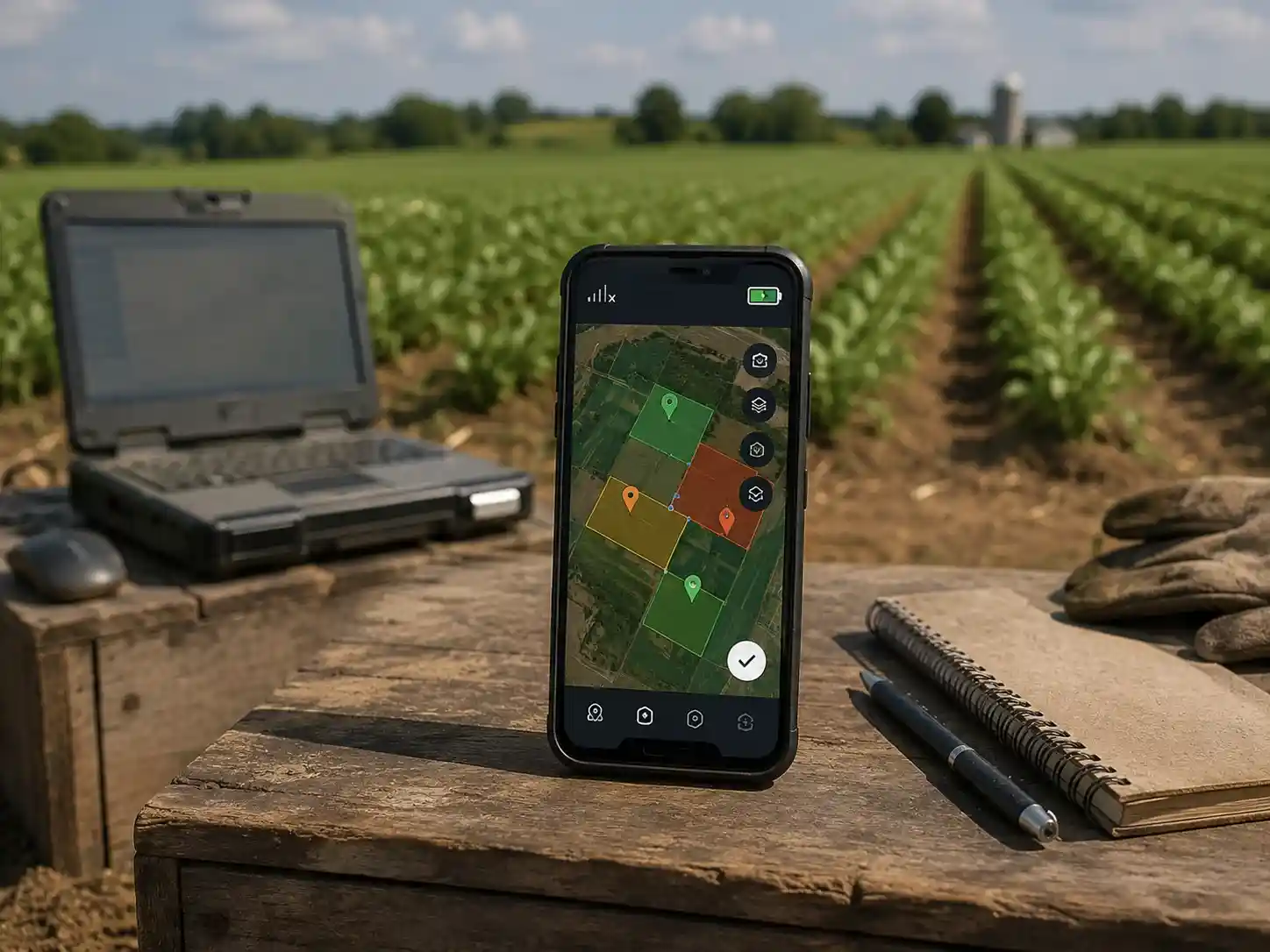
Unreliable Field Tools
Existing tools depended on desktop access, stable internet, and technical users. Rural teams needed mobile-first workflows that could support field conditions.
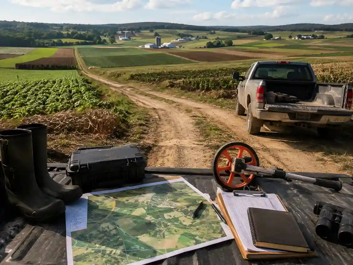
Slow Manual Checks
Operators visited farms before missions to confirm boundaries and field conditions. These repeated checks reduced scheduling capacity and slowed new farmer onboarding.
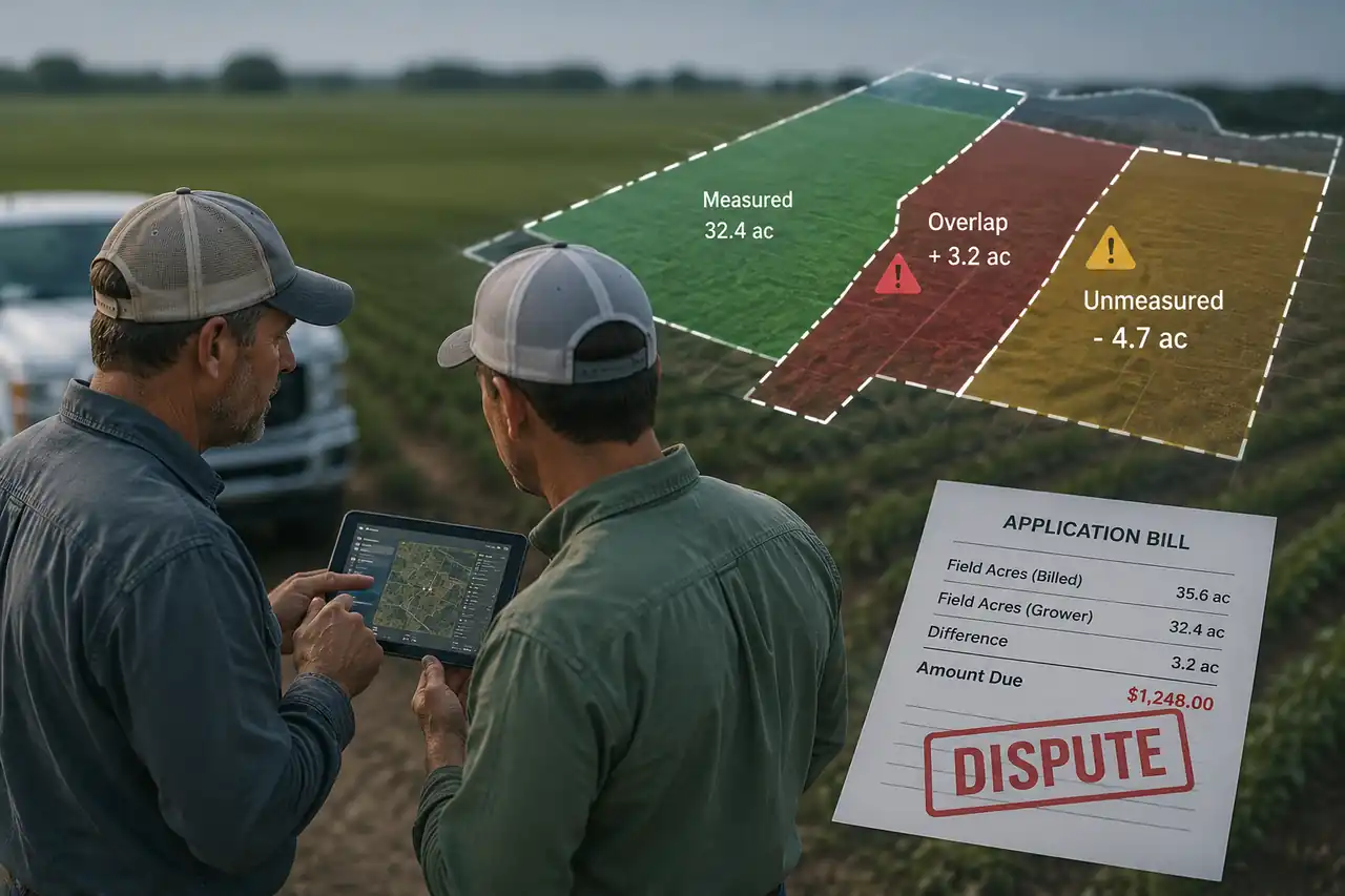
Field Area Errors
Teams re-estimated field boundaries on every visit. Inconsistent measurements created billing gaps, approval delays, and lower trust in service records.
Odoo ERP Digitization Program Objectives for MamaDrone
Before development began, SDLC Corp mapped each objective to a real field or back-office problem. The program had to connect farm mapping, drone operations, mobile access, operator training, hardware data, and Odoo ERP without making daily work more complex.
Explore the Connected SolutionClear Farm Data
Make field data understandable for farmers without requiring an operator to explain every report
Reusable GPS Maps
Measure every field consistently by saving reusable GPS boundaries for future missions
Shared Farm View
Give farmers, drone operators, and admin teams one shared farm and service record
Offline Field Use
Support field teams on basic Android devices, weak signals, and offline working conditions
Remote Farm Check
Reduce physical pre-mission visits through remote digital-twin and 3D farm review
Spray Zone Plan
Let operators define spray zones and review field boundaries on an accurate map before takeoff
Odoo ERP Flow
Connect sales, inventory, service, and field operations through one Odoo ERP workflow
Drone Data Sync
Synchronize drone missions, equipment information, field records, and completion updates
AR/VR Training
Support drone operators and field teams with practical AR/VR training and process visualization
Four Odoo ERP Solutions Behind MamaDrone's Operations
SDLC Corp connected field mapping, drone workflows, operator training, and Odoo ERP through one coordinated digital system.
Digital-twin mapping improved field visibility, while AR/VR helped operators prepare for missions. Drone synchronization connected field data with the central platform, and Odoo ERP organized key records.
Farmers, operators, and administrators could work with the same information from booking through mission completion.

Digital Twin Field Mapping
Drone imagery became reusable farm maps with boundaries, crop zones, health layers, and field history.
Explore AR mapping case studyOdoo ERP Operations
Odoo connected sales, inventory, service requests, and field records in one back-office system.
Drone Workflow Sync
Mission data, GPS records, equipment details, and completion updates moved across connected systems.
AR/VR Operator Training
Training supported equipment handling, safety checks, and mission preparation before live field work.
How We Delivered the Odoo ERP Connected Platform
SDLC Corp delivered the platform in seven tested phases. Each phase connected field apps, drone data, mapping tools, AR/VR, and Odoo ERP before production release.
Plan Your Odoo ERP ImplementationDiscovery and Workflow Mapping
The team mapped farmer bookings, drone missions, inventory, service records, user roles, and integration priorities.
Architecture and Offline Design
Mobile, web, GIS, API, and Odoo layers were planned with offline storage for areas with weak network access.
Drone Imagery and GIS Mapping
GPS-tagged imagery generated farm maps, reusable boundaries, crop zones, and health layers for each mission.
Role-Based Apps and Odoo ERP
Farmers, operators, and admins received connected tools, while Odoo managed sales, inventory, service, and field records.
Hardware and Data Synchronization
Mission details, GPS records, equipment data, and completion updates moved between field and office systems.
AR/VR Training and Visualization
AR overlays, 3D farm views, and interactive training helped operators review procedures before live missions.
Testing and Production Release
The team tested offline access, mapping accuracy, permissions, synchronization, and Odoo records before launch.
Odoo ERP Technology Behind MamaDrone's Connected Platform
The architecture connected field applications, digital-twin mapping, drone data, AR/VR experiences, hardware workflows, and Odoo ERP. Each technology supported reliable field use, secure data movement, and one shared operational system.
Key Features of the Odoo ERP Connected Platform
The platform connected farm mapping, mobile apps, drone data, operator training, hardware workflows, and Odoo ERP through one shared operational system.
Discuss Similar Platform RequirementsDigital Twin and GIS Farm Mapping
GPS-based farm maps combine boundaries, crop zones, and health layers. Saved measurements remain available for future visits and field comparisons.
Drone Imagery Processing Pipeline
Operators upload GPS-tagged imagery from mobile devices. The platform processes each capture and links it to the correct farm and mission.
Farmer Mobile App
Farmers view maps, crop-health data, service records, and field updates through a simple multilingual mobile application.
Operator Mission Dashboard
Operators review assigned farms, GPS boundaries, spray zones, service requests, and mission details before field deployment.
Admin Operations Panel
Admin teams assign operators, track mission progress, review completion status, and access service history from one dashboard.
AR Crop-Health Overlay
ARCore and ARKit place crop-health zones and issue markers over the live camera view for easier field interpretation.
Unity 3D Farm Model
A navigable 3D farm model helps operators review boundaries, terrain, and mission conditions before visiting the field.
Offline-First Field Access
SQLite caching keeps maps, farm records, and mission details available offline, then synchronizes updates when connectivity returns.
Odoo ERP Operations
Odoo ERP connects sales, inventory, service, and field records, giving back-office teams one view of daily operations.
Drone Hardware and ERP Sync
Mission records, GPS data, equipment details, and completion updates move between drones, mobile applications, and Odoo ERP.
AR/VR Operator Training
Interactive AR/VR training supports equipment handling, mission preparation, field procedures, and safety checks before live drone operations.
What Changed After Odoo ERP Digitization
MamaDrone replaced manual processes with connected maps, mobile access, drone synchronization, and Odoo ERP workflows.
| Operational Area | Before | After Digitization |
|---|---|---|
Spray Planning | Spray zones were estimated from memory. | GPS maps define accurate areas before takeoff. |
Crop Insights | Reports required operator explanation. | Farmers view clear crop-health data on mobile. |
Mission Review | Reviews required physical field visits. | Digital-twin maps support remote mission review. |
Field Boundaries | Boundaries were measured on each visit. | Saved GPS boundaries keep measurements consistent. |
Job Tracking | Jobs were tracked through calls and sheets. | Teams track every job through one shared view. |
Data Sync | Field and ERP records remained separate. | Drone, mobile, and Odoo data synchronize. |
Odoo ERP Operational Outcomes Across the Connected Platform
Digital-twin mapping, drone-data sync, AR/VR preparation, mobile workflows, and Odoo ERP helped MamaDrone reduce manual work, improve field accuracy, and manage agri-drone operations from one connected system.
Discuss Your AgriTech PlatformConsistent Field Measurements
Reusable GPS boundaries helped operators work with the same measured field area across repeat missions, improving field accuracy and reducing manual re-checks.
Clearer Farmer Reports
Visual maps and crop-health overlays converted complex drone data into clearer reports, helping farmers understand field issues and act faster.
Faster Mission Planning
Saved boundaries and 3D views helped operators prepare missions before reaching the farm, reducing planning delays and improving route readiness.
One Odoo Operations View
Sales, inventory, service requests, and field records became easier to manage from one Odoo ERP system, improving visibility across office and field teams.
Reduced Manual Data Movement
Mission, equipment, GPS, and completion data moved through connected mobile and ERP workflows, reducing duplicate entry and coordination gaps.
Better Operator Readiness
AR/VR guidance helped teams review field procedures and safety steps before live work, improving operator readiness and reducing training friction.
Client Review
What the client said about SDLC Corp
A verified client review for the AR agriculture mapping platform, covering AR/VR development, digital twin workflows, custom software development, and enterprise app modernization.
“Their team was responsive to our feedback and handled requested changes in a practical and cooperative way.”
Executive, Mama Drones
Agricultural Drone Company · Aurangabad, India
Why the Odoo ERP Connected Approach Worked in the Field
The program worked because SDLC Corp designed around real field conditions. Mobile apps, drone data, digital-twin mapping, AR/VR, and Odoo ERP created field-ready workflows with better visibility, higher reliability, and less manual coordination.
Offline Field Access
Teams could view maps and mission records during weak connectivity. Field data synced when the network returned, improving reliability for rural users.
Role-Based Tools
Farmers, operators, and admins received simple tools matched to their daily work, reducing manual coordination and improving task clarity.
Connected Data Flow
Odoo ERP kept all field, drone, hardware, and service records connected in one operational system for better visibility and fewer data gaps.
Phased Field Testing
Each workflow was tested for access, accuracy, permissions, and sync before release, reducing launch risk and improving field adoption.
Build Your Odoo ERP Connected AgriTech Platform With SDLC Corp
Plan your platform architecture, workflow automation, and Odoo ERP integration with the SDLC Corp team. We help agri-drone businesses connect drone data, digital-twin mapping, hardware workflows, offline mobile apps, and back-office operations so teams can reduce manual work, improve field visibility, and scale with a connected system like MamaDrone.
- Contact Us
Let’s Talk About Your Product
What happens next?
- We review your requirements
- Strategy call with experts
- Clear roadmap & estimate
- NDA Protected
- Enterprise Grade Delivery
- Global Clients
- By submitting this form, you acknowledge that SDLC Corp may process your details to respond to your inquiry. See our Privacy Policy and Cookie Notice.


